


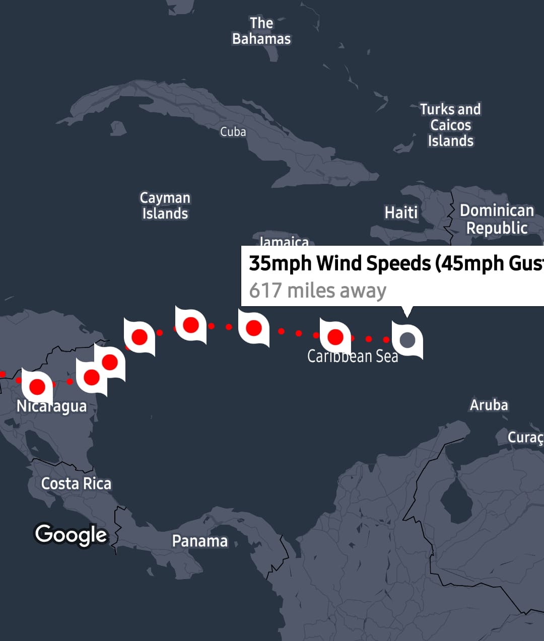


(CMR) All eyes are on a newly formed Tropical Depression 29 including the National Hurricane Center in Miami. New advisories have been issued as of 4 p.m. as Cayman can expect isolated showers with moderate northeasterly winds and seas for the next 24 hours.
Expectations are that it will develop into Tropical Storm Eta by Monday.
Rain can be expected across the Cayman area for the next 24 hours in association with a tightening pressure gradient over the Western Caribbean. Radar images show isolated showers in and around the Cayman area which are moving towards the southwest.
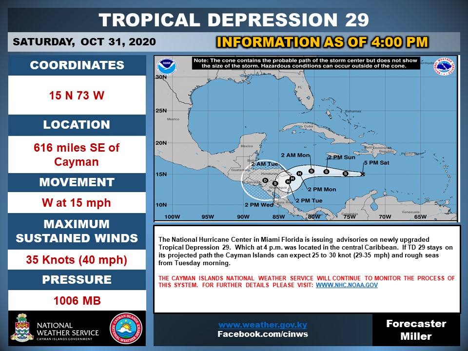
The system is currently located 15 N 73 W with maximum sustained winds of 40 mph and is moving West at 15 mph.
For this evening Cayman can expect partly cloudy skies with cloudy spells and a 40% chance of showers and thunder. Temperatures will fall to the mid 70’s °F. Winds will be northeast 10 to 15 knots. Seas will be slight to moderate with wave heights of 3 to 5 feet.
Tomorrow's forecast is much the same.
The Cayman Islands Weather Service will continue to monitor the development of this system.
A severe weather system has been issued for Jamaica until 5:00 p.m. Sunday evening as increased rain is expected. The Jamaican Met Office says the greatest immediate risk is to small craft operators over the waters south of Jamaica. Fishers on the cays and banks are, therefore, urged to return to the mainland immediately and other small craft operators in coastal waters are advised to return to port.
- Fascinated
- Happy
- Sad
- Angry
- Bored
- Afraid


